
Tidelands waterfront guide
For a Tidelands waterfront concern, establish which edge is private, which is common property and which drainage or marine approval governs it.
Describe your project on this page ↓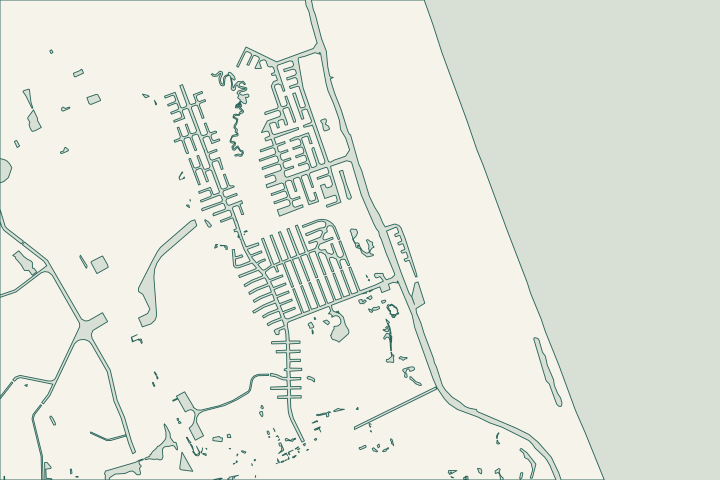
Get to know your waterfront
Tidelands has its own polygon in Palm Coast’s neighborhood data, separate from Palm Harbor. The canal layer also identifies Club House Waterway at this neighborhood. An association shoreline, a drainage edge and an owner’s parcel can have different responsibilities even when they are close together. Start by matching the damaged section to the property and association documents, then request the approval for that exact feature.
Local geography and records: Tidelands · Official canal inventory · SJRWMD ePermit resources · Commercial seawall applications · Waterfront Park
Draw the responsibility boundary first
Mark the wall segment on the association plan. Ask who can authorize an assessment, grant contractor access and approve a repair. Where a path, dock or landscape edge uses the same space, identify which facilities must remain usable. Record existing drainage outlets before asking anyone to alter the wall or backfill.
Local records worth knowing
- The city maps Tidelands as a distinct neighborhood.
- Club House Waterway is a named canal feature intersecting its mapped area.
- The neighborhood is represented separately from the Palm Harbor C and F polygons.
- The city GIS provides a separate overall-waterbody layer for matching the shoreline.
- The map point in this guide is a representative location inside the official neighborhood polygon.
What could the work cost?
Keep common-property work, owner-specific repairs, path restoration and temporary access separate in the board budget. Do not apportion a price by frontage until responsibility is confirmed.
Published Florida planning ranges, not Palm Coast quotes. Confirm the full scope for your property.
Compare quotes and plan a budget →Find the relevant permits and records
| Starting point | What to resolve | Prepare and look up |
|---|---|---|
Palm Coast Building Services | Confirm the parcel, proposed scope and current submission route. | Bring parcel ID, survey and the work description. 386-986-3780. |
Environmental and waterway review | Identify existing drainage approvals, habitat and any state or federal review. | Show alignment, access and all connected work. |
Draw the responsibility boundary first — your checklist
Use these steps to turn the local context into a property-specific project brief.
Assign the segment
Match the location to the deed and association maintenance exhibits.
Local geography and records: Tidelands · Official canal inventory
Request the drainage record
Search the existing permit file for outlets and maintenance conditions.
Local geography and records: Tidelands · Official canal inventory
Prepare a board brief
List the concern, assessment scope and decisions needed before bidding.
Local geography and records: Tidelands · Official canal inventory
Plan your Tidelands project
Describe the location and what has changed. Keep your survey and any earlier records with the project notes.
Tidelands project questions
Can a homeowner commission work on a common shoreline?
Confirm the authority in the governing documents and with the association before arranging construction. The shoreline’s location beside a home does not by itself establish who can approve the work.
Keep planning
Nearby waterfront guides
Palm Harbor · F Section, Palm Harbor · C Section, Grand Haven
Show sourcesHide sources
- Local geography and records: TidelandsSource reviewed 2026-10-26
- Official canal inventorySource reviewed 2026-10-26
- SJRWMD ePermit resourcesSource reviewed 2026-10-26
- Commercial seawall applicationsSource reviewed 2026-10-26
- Waterfront ParkSource reviewed 2026-10-26
- DEP Northeast DistrictSource reviewed 2026-10-26
- USACE Jacksonville officeSource reviewed 2026-10-26