
Hammock Dunes & Island Estates waterfront guide
Oceanfront, lakefront and Intracoastal edges call for different records. Locate the shoreline type and responsible owner before comparing wall designs.
Describe your project on this page ↓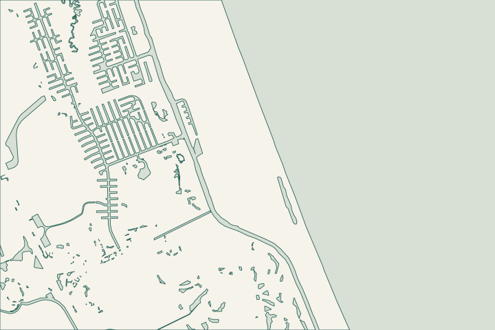
Get to know your waterfront
Hammock Dunes and Island Estates are separate polygons in the official neighborhood layer. The broader barrier-island setting brings several kinds of waterfront close together, but proximity does not give them the same approval path. Check the actual parcel, its water frontage and any common-property boundary. For ocean-facing work, locate the CCCL; for other edges, establish the drainage or marine permit history.
Local geography and records: Hammock Dunes & Island Estates · Locate the CCCL · CCCL application guidance · Flagler County Central Permitting · Coastal survey datums
Do not transfer a neighbor’s elevation or approval
Give the designer the survey datum, current wall elevations and proposed scope. Ask how a change affects adjacent grades and drainage. When the edge belongs to an association, identify who commissions the assessment and signs the work authorization. Keep a beach-armoring discussion separate from a lake-bank or Intracoastal bulkhead quote.
Local records worth knowing
- Hammock Dunes is a named GIS neighborhood.
- Island Estates has a separate official polygon.
- Both appear independently in the regional neighborhood legend.
- The county weather directory includes a Hammock Dunes Bridge station.
- DEP’s coastal map provides the CCCL location for checking oceanfront parcels.
Find the relevant permits and records
| Starting point | What to resolve | Prepare and look up |
|---|---|---|
Flagler County Central Permitting | Confirm the parcel, proposed scope and current submission route. | Bring parcel ID, survey and the work description. 386-313-4003. |
Environmental and waterway review | Identify existing drainage approvals, habitat and any state or federal review. | Show alignment, access and all connected work. |
What could the work cost?
Price the shoreline-specific design and approvals. Survey reconciliation, common-property access and resident circulation may be as important as wall length.
Published Florida planning ranges, not Palm Coast quotes. Confirm the full scope for your property.
Compare quotes and plan a budget →Do not transfer a neighbor’s elevation or approval — your checklist
Use these steps to turn the local context into a property-specific project brief.
Classify the edge
Identify ocean, Intracoastal or interior water frontage on the survey.
Local geography and records: Hammock Dunes & Island Estates · Locate the CCCL
Locate the approvals
Keep coastal, building and drainage records distinct.
Local geography and records: Hammock Dunes & Island Estates · Locate the CCCL
Coordinate adjoining levels
Ask for a drawing of returns, grades and neighboring transitions.
Local geography and records: Hammock Dunes & Island Estates · Locate the CCCL
Plan your Hammock Dunes & Island Estates project
Describe the location and what has changed. Keep your survey and any earlier records with the project notes.
Hammock Dunes & Island Estates project questions
Is the top of my neighbor’s wall the required height for mine?
No. Use the applicable rules, survey datum and site-specific design. A neighboring cap may have a different approval date, setting or retained grade.
Keep planning
Nearby waterfront guides
Show sourcesHide sources
- Local geography and records: Hammock Dunes & Island EstatesSource reviewed 2026-10-26
- Locate the CCCLSource reviewed 2026-10-26
- CCCL application guidanceSource reviewed 2026-10-26
- Flagler County Central PermittingSource reviewed 2026-10-26
- Coastal survey datumsSource reviewed 2026-10-26
- DEP Northeast DistrictSource reviewed 2026-10-26
- SJRWMD ePermit resourcesSource reviewed 2026-10-26
- USACE Jacksonville officeSource reviewed 2026-10-26