
Pine Grove & Belle Terre waterfront guide
For Pine Grove, Belle Terre and nearby Lehigh Woods, start with the freshwater drainage network. A bank repair should respect the canal and weir system.
Describe your project on this page ↓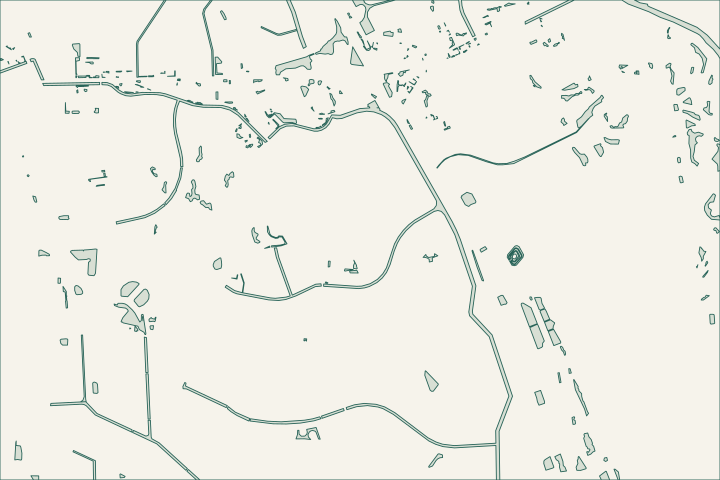
Get to know your waterfront
The city maps Belle Terre P-1, Pine Grove P-2 and Lehigh Woods as distinct neighborhoods connected to named freshwater waterways. Its canal page describes Pine Grove dredging coordinated with the P-1 weir near Belle Terre Boulevard. If exposed bank or standing water prompted your search, ask about managed canal levels and current public work before treating the observation as a failed private seawall.
Local geography and records: Pine Grove & Belle Terre · Pine Grove and P-1 weir · Freshwater canal function · Freshwater canal access · Stormwater 101
Record levels before choosing a bank treatment
Keep photographs with dates and rainfall notes. Ask whether a level change is part of maintenance and whether the affected bank is private or within a drainage easement. A professional assessing erosion needs to understand the upstream and downstream controls, not only the exposed soil beside your yard.
Local records worth knowing
- Belle Terre is identified as P-1 in city neighborhood data.
- Pine Grove is identified as P-2.
- Lehigh Woods is a separate R-section neighborhood.
- The city describes Pine Grove Waterway dredging.
- That description links the work to the P-1 weir near Belle Terre Boulevard.
Find the relevant permits and records
| Starting point | What to resolve | Prepare and look up |
|---|---|---|
Palm Coast Building Services | Confirm the parcel, proposed scope and current submission route. | Bring parcel ID, survey and the work description. 386-986-3780. |
Environmental and waterway review | Identify existing drainage approvals, habitat and any state or federal review. | Show alignment, access and all connected work. |
What could the work cost?
Price cause investigation, approved bank restoration and access separately. A marine-barge assumption is inappropriate without checking freshwater access rules and permission.
Published Florida planning ranges, not Palm Coast quotes. Confirm the full scope for your property.
Compare quotes and plan a budget →Record levels before choosing a bank treatment — your checklist
Use these steps to turn the local context into a property-specific project brief.
Name the waterway
Use the city layer to identify the canal or stream.
Local geography and records: Pine Grove & Belle Terre · Pine Grove and P-1 weir
Ask about public work
Check current canal levels and the relevant maintenance project.
Local geography and records: Pine Grove & Belle Terre · Pine Grove and P-1 weir
Confirm the bank detail
Request the applicable easement and drainage-plan information.
Local geography and records: Pine Grove & Belle Terre · Pine Grove and P-1 weir
Plan your Pine Grove & Belle Terre project
Describe the location and what has changed. Keep your survey and any earlier records with the project notes.
Pine Grove & Belle Terre project questions
Does a temporarily lower canal mean the bank needs a wall?
Not necessarily. Water levels can be lowered for maintenance. Ask the city about the change and have the erosion cause assessed before selecting a structural remedy.
Keep planning
Nearby waterfront guides
Indian Trails, Pine Lakes & Matanzas Woods, Woodlands & Graham Swamp Edge, Seminole Woods & Quail Hollow
Show sourcesHide sources
- Local geography and records: Pine Grove & Belle TerreSource reviewed 2026-10-26
- Pine Grove and P-1 weirSource reviewed 2026-10-26
- Freshwater canal accessSource reviewed 2026-10-26
- Stormwater 101Source reviewed 2026-10-26
- Palm Coast Building ServicesSource reviewed 2026-10-26
- DEP Northeast DistrictSource reviewed 2026-10-26
- SJRWMD ePermit resourcesSource reviewed 2026-10-26
- USACE Jacksonville officeSource reviewed 2026-10-26