
Indian Trails, Pine Lakes & Matanzas Woods waterfront guide
These inland neighborhoods have named drainage waterways and lakes. Identify the particular bank and maintenance responsibility before shopping for seawall work.
Describe your project on this page ↓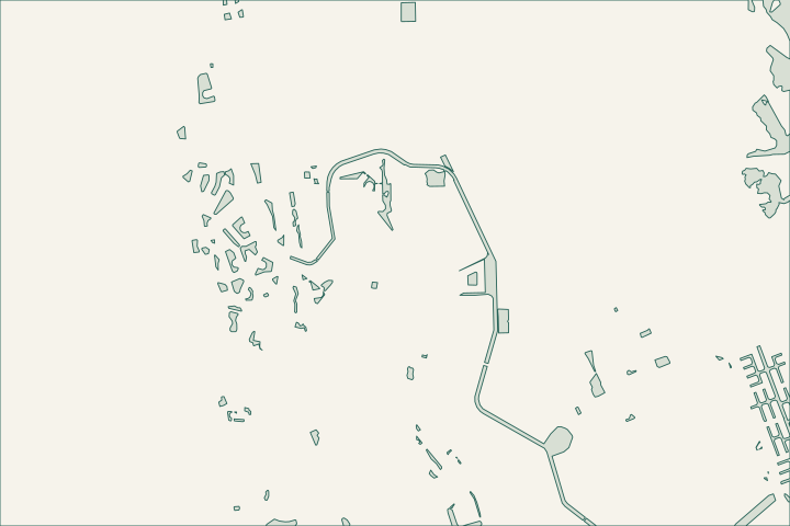
Get to know your waterfront
Indian Trails, Pine Lakes and Matanzas Woods are mapped as separate letter-section neighborhoods. Their canal records include Barrister Waterway, the Wynnfield waterways and London Waterway segments. A drainage-bank concern here should be tied to the correct named feature. A tidal canal repair elsewhere in Palm Coast is not a direct model for a freshwater channel that carries runoff through the neighborhood.
Local geography and records: Indian Trails, Pine Lakes & Matanzas Woods · Official canal inventory · Freshwater canal function · Canal maintenance service levels · Freshwater canal access
Make a location-specific maintenance report — your checklist
Use these steps to turn the local context into a property-specific project brief.
Identify the feature
Match the waterway name to the city map.
Local geography and records: Indian Trails, Pine Lakes & Matanzas Woods · Official canal inventory
Describe the symptom
Separate vegetation, standing water and bank movement in the report.
Local geography and records: Indian Trails, Pine Lakes & Matanzas Woods · Official canal inventory
Confirm responsibility
Ask whether the city, association or parcel owner maintains the feature.
Local geography and records: Indian Trails, Pine Lakes & Matanzas Woods · Official canal inventory
Make a location-specific maintenance report
Give the city the nearest address, named waterway and photographs showing the affected reach. Distinguish vegetation coverage, bank erosion and a blocked outlet; they may require different responses. For private work, ask who controls the bank and whether the drainage permit specifies its grade or access.
Local records worth knowing
- Indian Trails is the B-section neighborhood in the GIS.
- Pine Lakes is the W section.
- Matanzas Woods is the L section.
- Barrister Waterway is mapped in Indian Trails.
- Wynnfield and London waterway segments appear in the Pine Lakes and Matanzas Woods settings respectively.
What could the work cost?
Ask for a drainage-bank scope that identifies ownership, authorized vegetation work and restoration. Do not budget an oceanfront or saltwater wall system before the actual problem is identified.
Published Florida planning ranges, not Palm Coast quotes. Confirm the full scope for your property.
Compare quotes and plan a budget →Find the relevant permits and records
| Starting point | What to resolve | Prepare and look up |
|---|---|---|
Palm Coast Building Services | Confirm the parcel, proposed scope and current submission route. | Bring parcel ID, survey and the work description. 386-986-3780. |
Environmental and waterway review | Identify existing drainage approvals, habitat and any state or federal review. | Show alignment, access and all connected work. |
Plan your Indian Trails, Pine Lakes & Matanzas Woods project
Describe the location and what has changed. Keep your survey and any earlier records with the project notes.
Indian Trails, Pine Lakes & Matanzas Woods project questions
Will clearing vegetation solve bank erosion?
Not automatically. Vegetation can also help hold soil. Confirm the maintenance plan and cause of erosion before removing it or changing the bank profile.
Keep planning
Nearby waterfront guides
Show sourcesHide sources
- Local geography and records: Indian Trails, Pine Lakes & Matanzas WoodsSource reviewed 2026-10-26
- Official canal inventorySource reviewed 2026-10-26
- Freshwater canal functionSource reviewed 2026-10-26
- Canal maintenance service levelsSource reviewed 2026-10-26
- Freshwater canal accessSource reviewed 2026-10-26
- Palm Coast Building ServicesSource reviewed 2026-10-26
- DEP Northeast DistrictSource reviewed 2026-10-26
- SJRWMD ePermit resourcesSource reviewed 2026-10-26
- USACE Jacksonville officeSource reviewed 2026-10-26