
Matanzas Shores & Marineland waterfront guide
At the north end of the Flagler coast, check the town and county boundary as carefully as the shoreline. Ocean and Matanzas River work take different paths.
Describe your project on this page ↓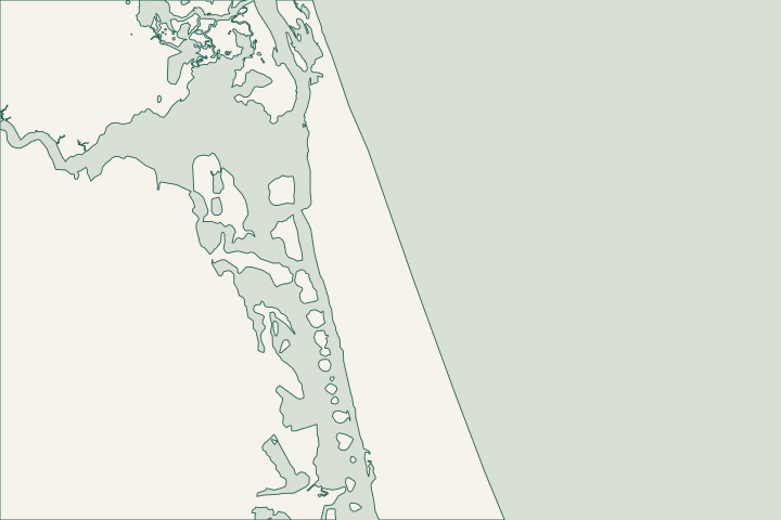
Get to know your waterfront
Matanzas Shores appears as its own official neighborhood, while Marineland is a separate incorporated town. River to Sea Preserve spans A1A between the Atlantic and Matanzas River and is jointly held by the county and town. This narrow coastal setting is a reminder to identify both the jurisdiction and the side of the barrier before planning excavation, shoreline stabilization or marine access.
Local geography and records: Matanzas Shores & Marineland · River to Sea Preserve · County building services and Marineland · CCCL application guidance · Local tide and water-level gauges
Establish the boundary before the application
Provide the parcel ID and survey when contacting the town or county. Ask which office handles the specific parcel and whether environmental or coastal review must come first. Keep sensitive habitat, public access and any conservation boundary on the work sketch. Do not use the preserve’s recreational launch as an assumed construction access point.
Local records worth knowing
- Matanzas Shores is mapped separately in the neighborhood layer.
- Marineland is an incorporated place in Census geography.
- River to Sea Preserve spans both sides of A1A.
- The preserve reaches from the Atlantic to the Matanzas River.
- The county describes it as 90 acres under joint county/town ownership.
Find the relevant permits and records
| Starting point | What to resolve | Prepare and look up |
|---|---|---|
Flagler County Central Permitting | Confirm the parcel, proposed scope and current submission route. | Bring parcel ID, survey and the work description. 386-313-4003. |
Environmental and waterway review | Identify existing drainage approvals, habitat and any state or federal review. | Show alignment, access and all connected work. |
What could the work cost?
Allow for jurisdiction confirmation, habitat review and a site-specific equipment route. The river-facing and ocean-facing sides should not share one generic seawall allowance.
Published Florida planning ranges, not Palm Coast quotes. Confirm the full scope for your property.
Compare quotes and plan a budget →Establish the boundary before the application — your checklist
Use these steps to turn the local context into a property-specific project brief.
Identify the parcel office
Resolve the town and county boundary before completing forms.
Local geography and records: Matanzas Shores & Marineland · River to Sea Preserve
Identify the water edge
Distinguish Matanzas River frontage from an Atlantic beach parcel.
Local geography and records: Matanzas Shores & Marineland · River to Sea Preserve
Request existing approvals
Ask for the issued environmental and coastal records applicable to the location.
Local geography and records: Matanzas Shores & Marineland · River to Sea Preserve
Plan your Matanzas Shores & Marineland project
Describe the location and what has changed. Keep your survey and any earlier records with the project notes.
Matanzas Shores & Marineland project questions
Does a Palm Coast mailing address mean Palm Coast issues the permit here?
No. Matanzas Shores and Marineland require parcel-specific routing. Confirm the local office and county before relying on a postal city or nearby project.
River to Sea Preserve · County building services and Marineland
Keep planning
Nearby waterfront guides
Show sourcesHide sources
- Local geography and records: Matanzas Shores & MarinelandSource reviewed 2026-10-26
- River to Sea PreserveSource reviewed 2026-10-26
- County building services and MarinelandSource reviewed 2026-10-26
- CCCL application guidanceSource reviewed 2026-10-26
- Local tide and water-level gaugesSource reviewed 2026-10-26
- Flagler County Central PermittingSource reviewed 2026-10-26
- DEP Northeast DistrictSource reviewed 2026-10-26
- SJRWMD ePermit resourcesSource reviewed 2026-10-26
- USACE Jacksonville officeSource reviewed 2026-10-26